Inquire
MayerDrones
Fully Licensed and Insured
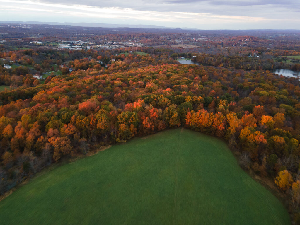
We are your FAA Part 107 Certified Aerial Solution in New York. Based out of the Hudson Valley. MayerDrones is a fully insured commercial drone piloting service and aerial data collection service. If you're looking for legal aerial data and imagery services you've found the right company.
Book Now
Services
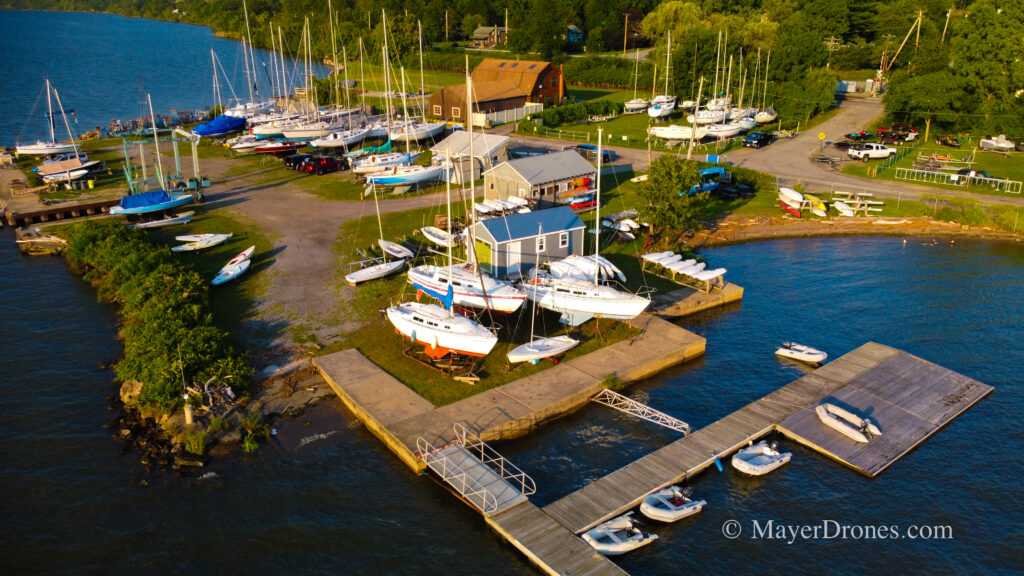
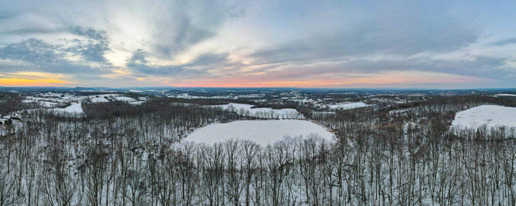
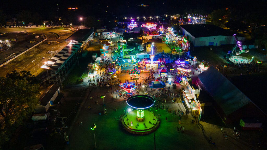
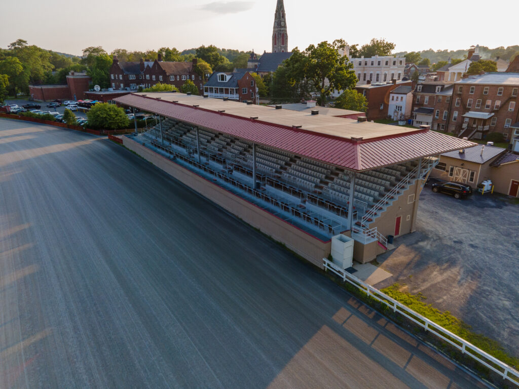
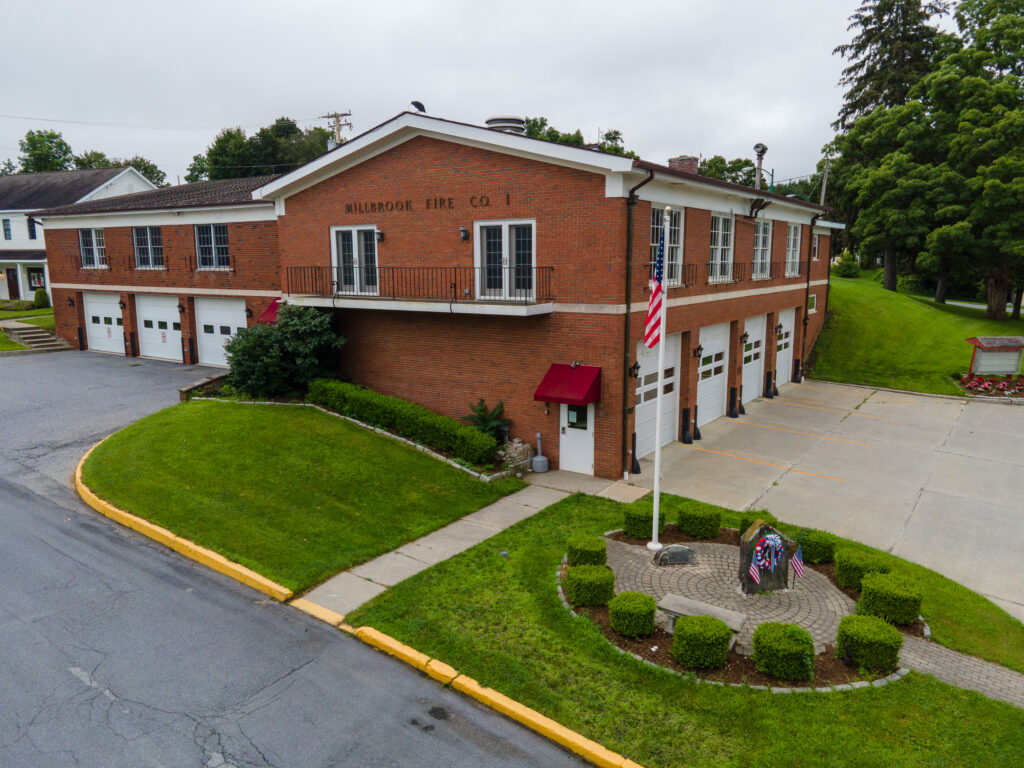
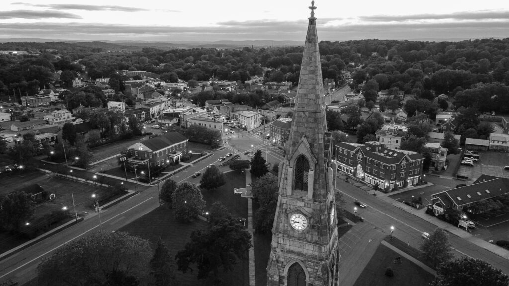
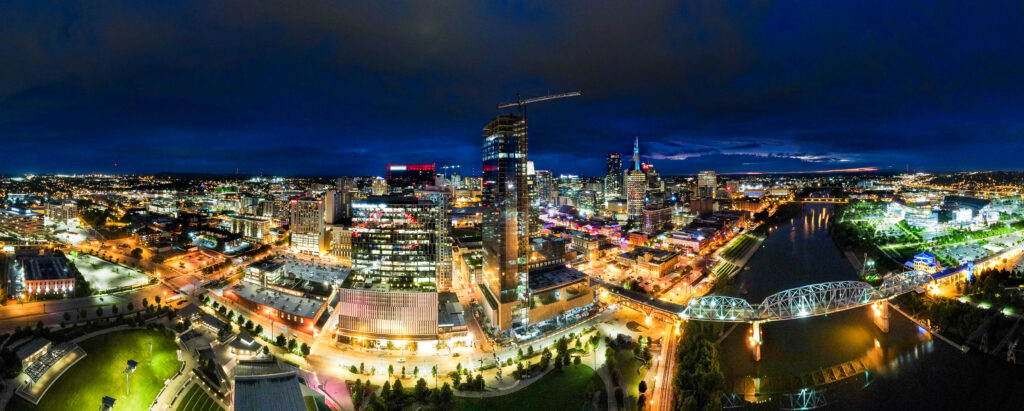
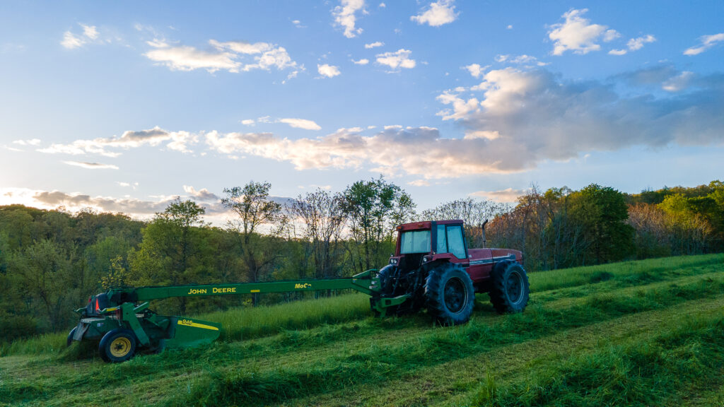
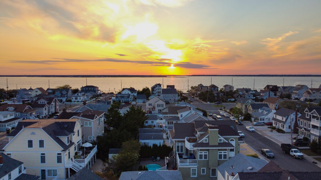
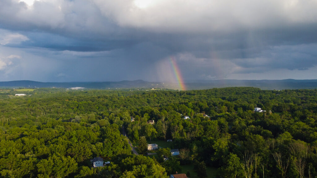
Photography
Venturing out and capturing captivating images and videos using a drone is merely the first chapter of the story. Once the flight missions for clients are completed, a plethora of work unfolds behind the scenes. This includes meticulous image selection, skillful post-production techniques, precise editing, and meticulous color correction, among other crucial tasks.
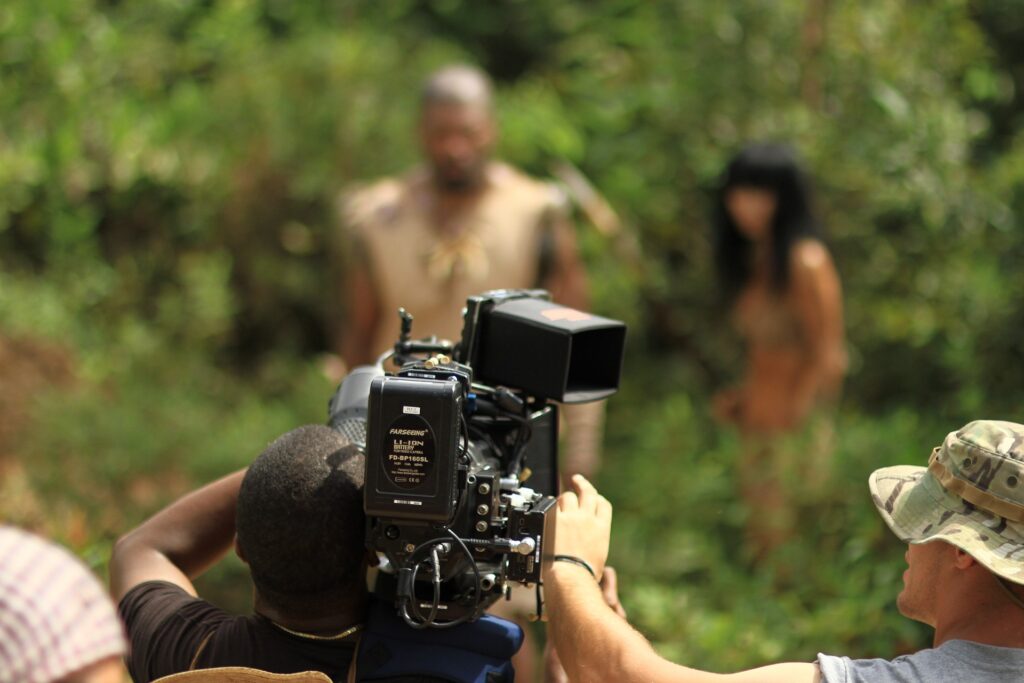
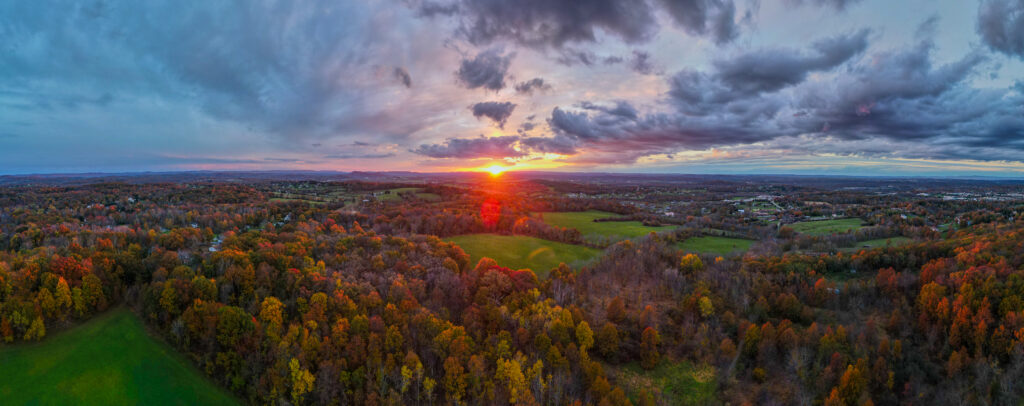
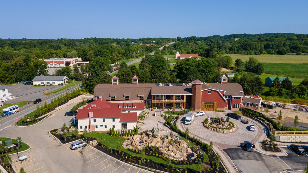
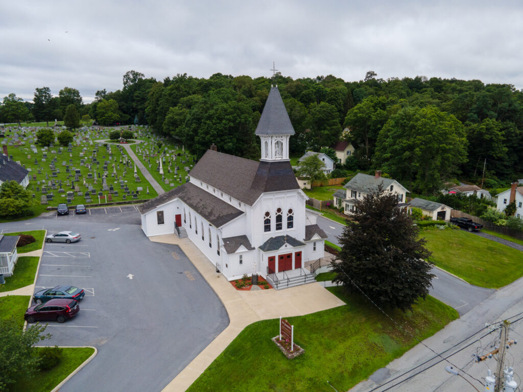
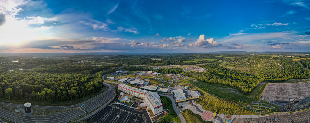
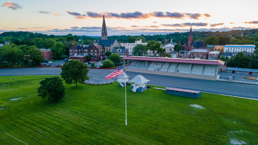
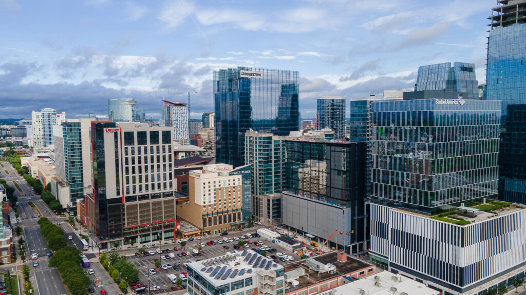
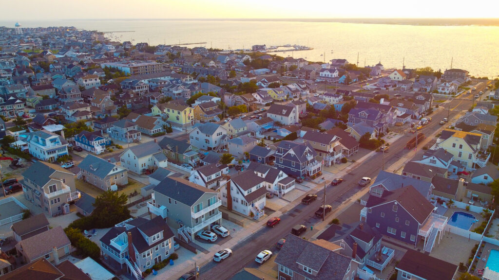
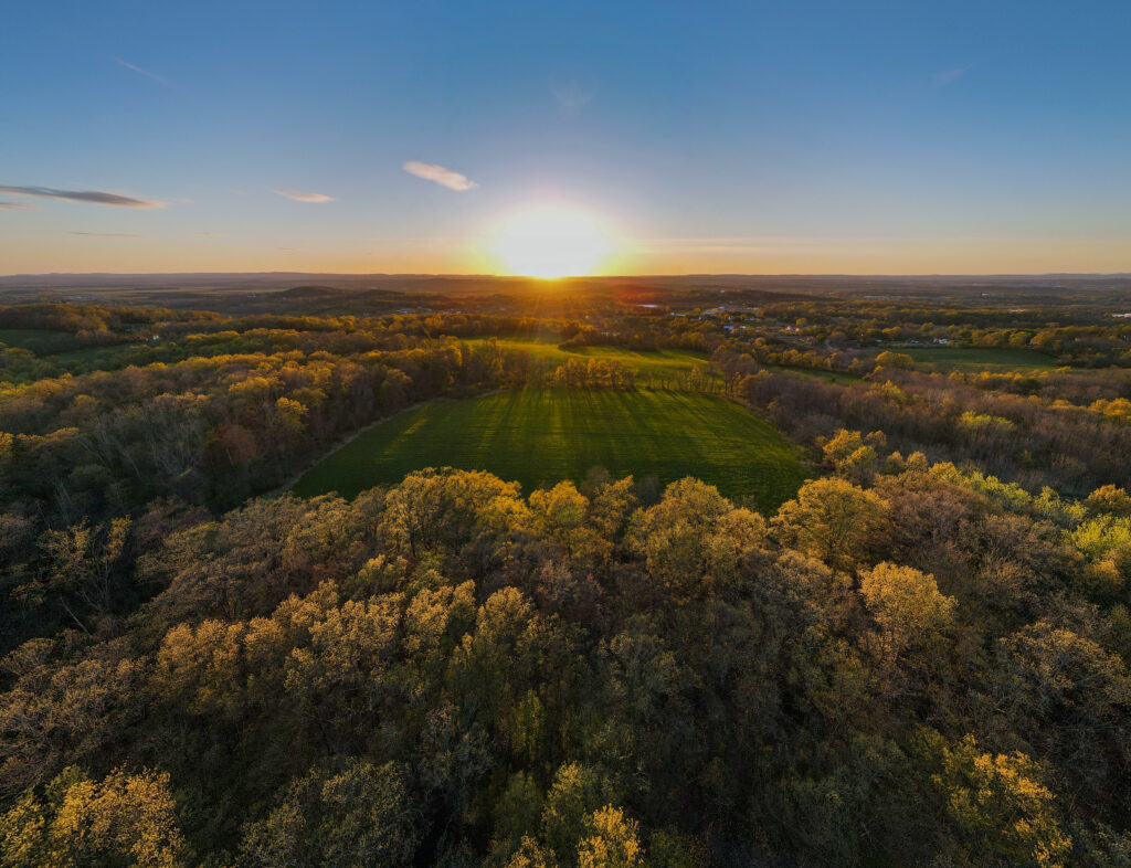
Videography
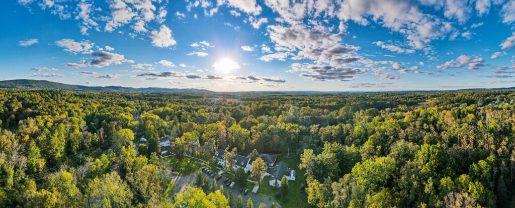
If you seek to collaborate with experienced videographers who have honed their skills in capturing the perfect shot over many years, and possess the expertise to apply those abilities to aerial videography, MayerDrones could be the ideal choice for you.
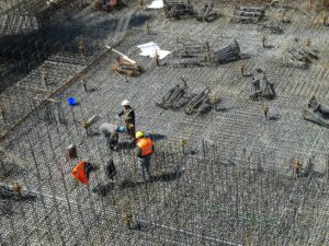
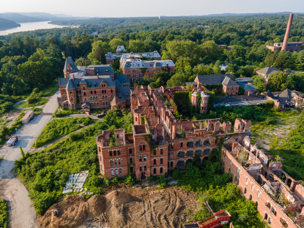
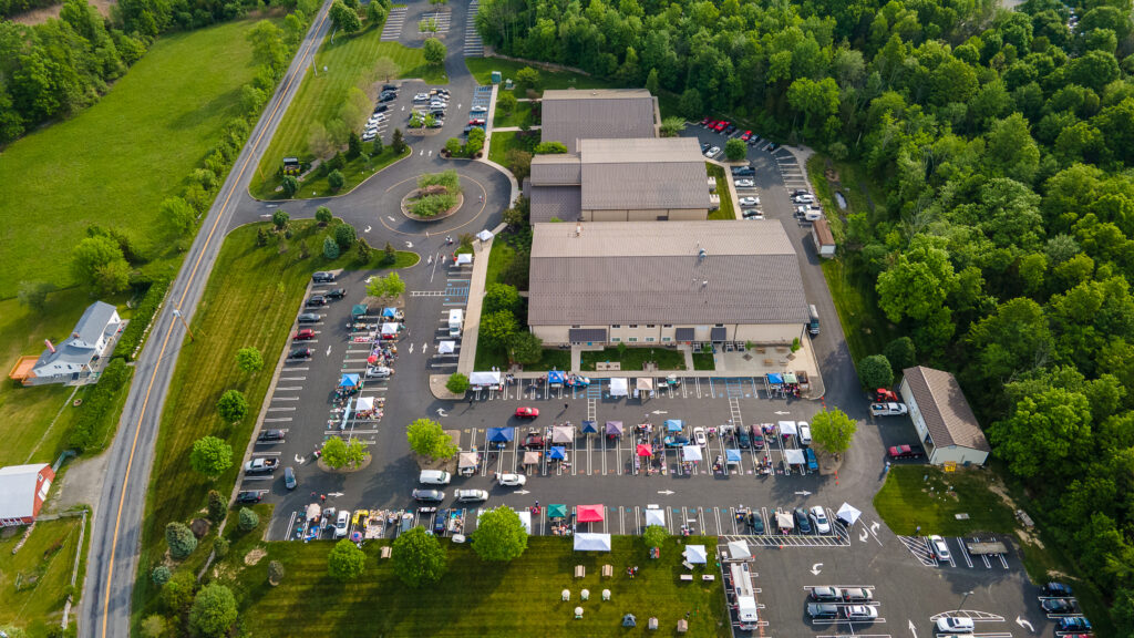
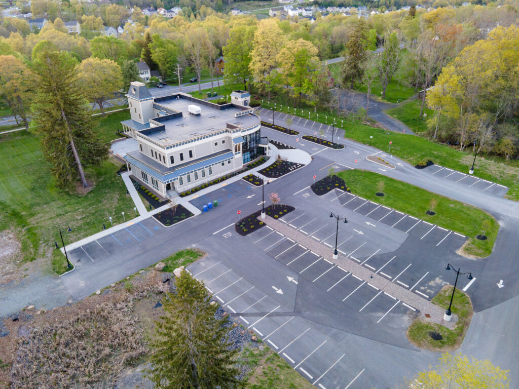
Construction Services
Maintain comprehensive oversight of your construction site through regular aerial inspections. Whether it’s weekly flyovers, bi-monthly assessments, or monthly inspections for larger projects, these systematic evaluations provide valuable insights into the progress of your construction site. By combining these regular aerial inspections, you can create compelling time-lapse videos that showcase the progression of your worksite.
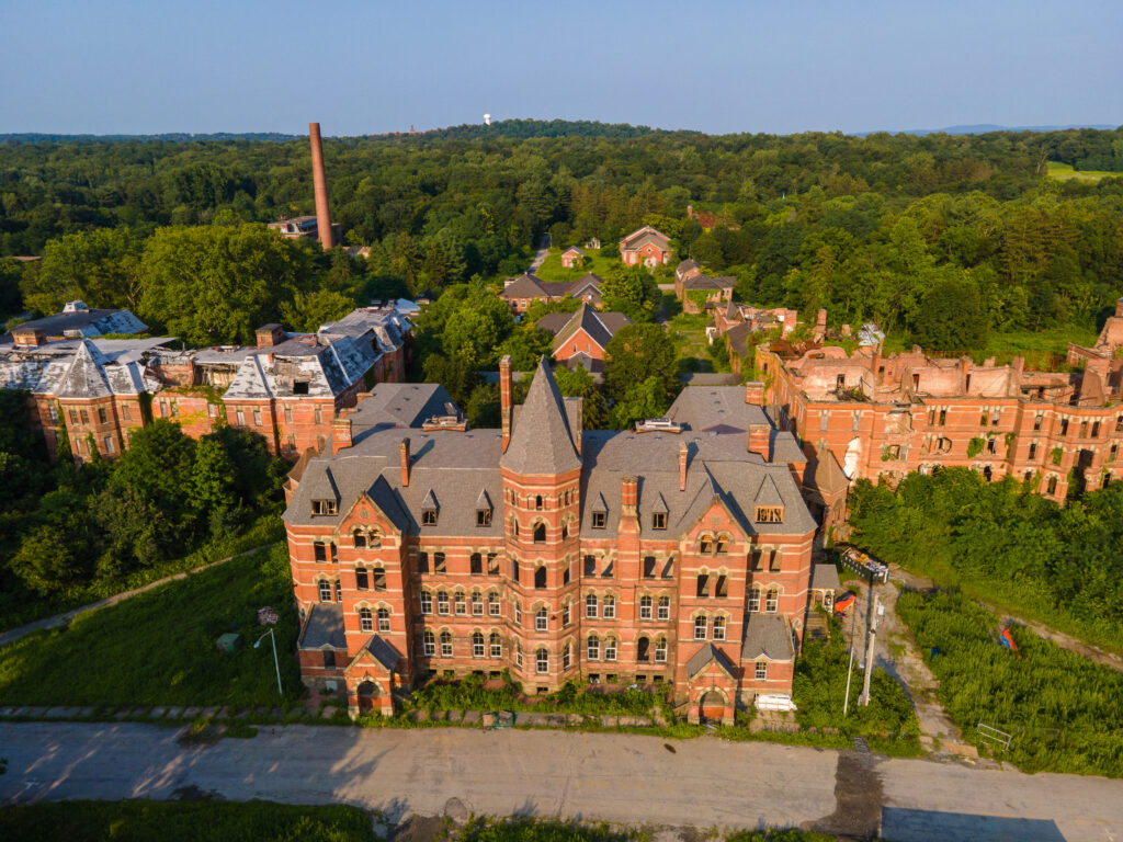
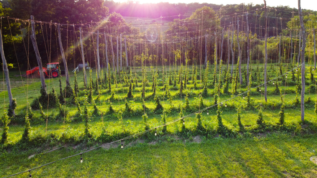
Aerial Modeling
Whether you’re involved in a residential construction project or working on a commercial property, the advancements in drone technology have made it effortless to generate accurate 3D models of your jobsite. With today’s drones, creating detailed 3D models has become a seamless process. Moreover, these 3D models can also serve as a valuable tool for inspection services, providing you with an unprecedented ability to assess properties and structures in a highly detailed and efficient manner.
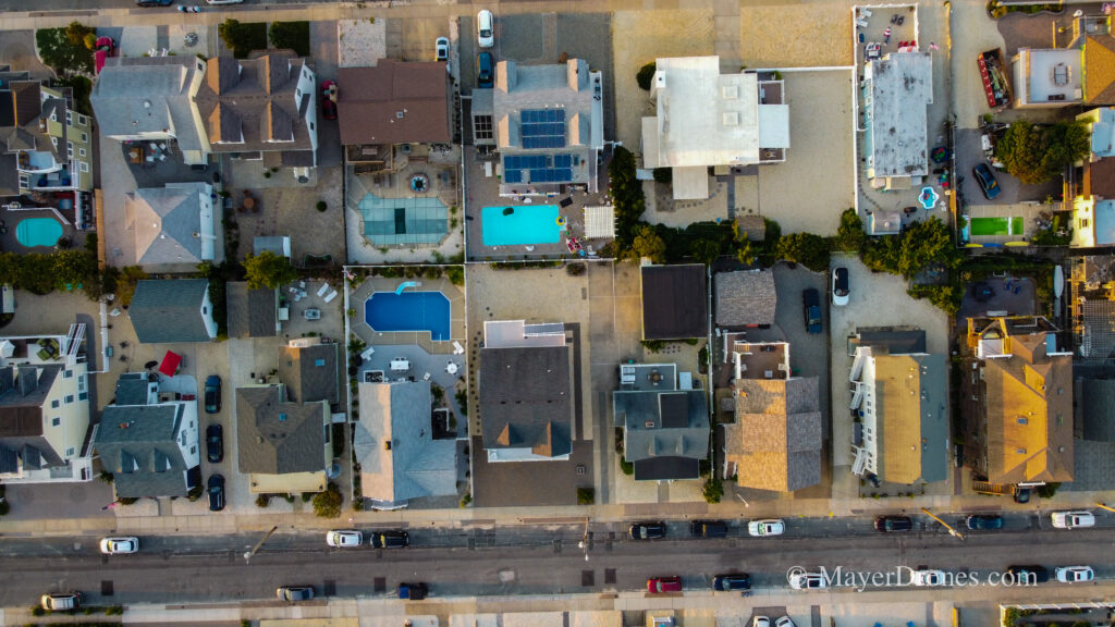
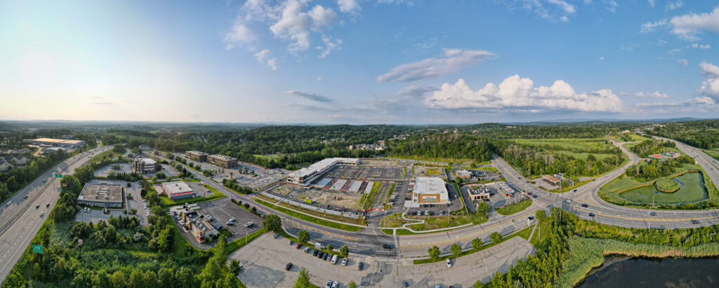
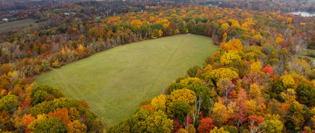
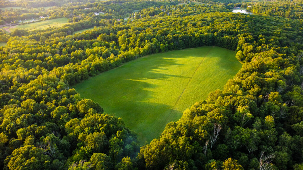
2D/3D Map Making
By creating distinctive models of your resort property, you can provide guests with a fresh and captivating perspective of your accommodations. Whether you manage RV parks, bed & breakfasts, motor lodges, or other hospitality establishments, these unique models offer an immersive glimpse into where your guests will be staying. Additionally, you can enhance the experience for residents by offering them a novel viewpoint of their neighborhoods through 2D and 3D community models.
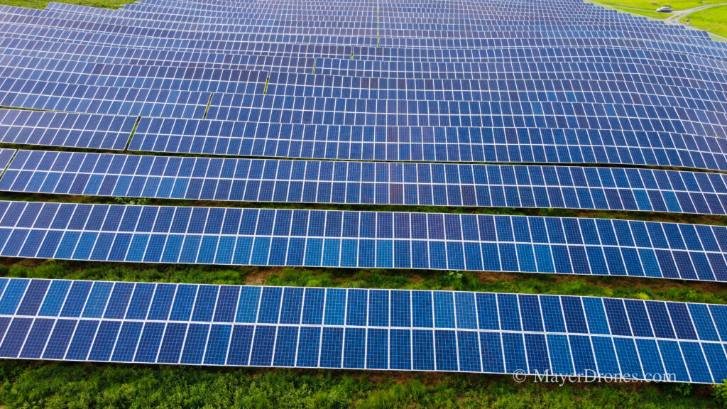
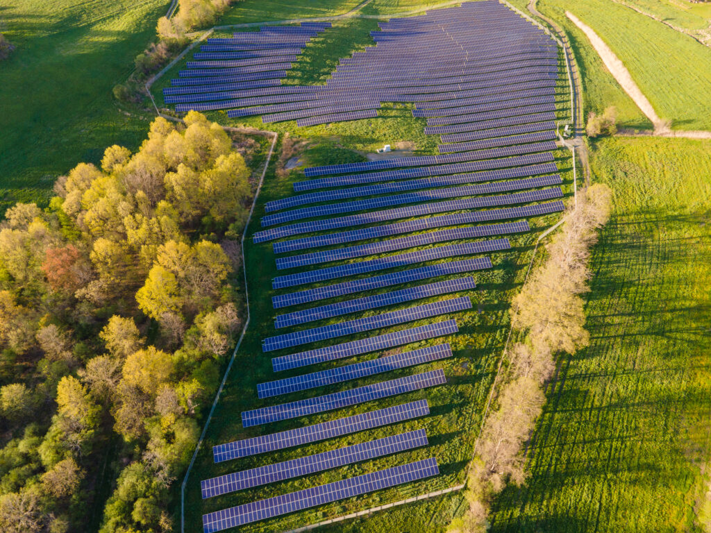
Solar
By processing aerial data, you can swiftly generate 3D models of rooftops for efficient solar system planning. This approach eliminates the need for exposing workers to potential workplace injuries and mitigates additional liabilities. With the use of aerial data and modeling, you can streamline the process, ensuring accurate assessments and reducing potential risks associated with traditional on-site inspections.
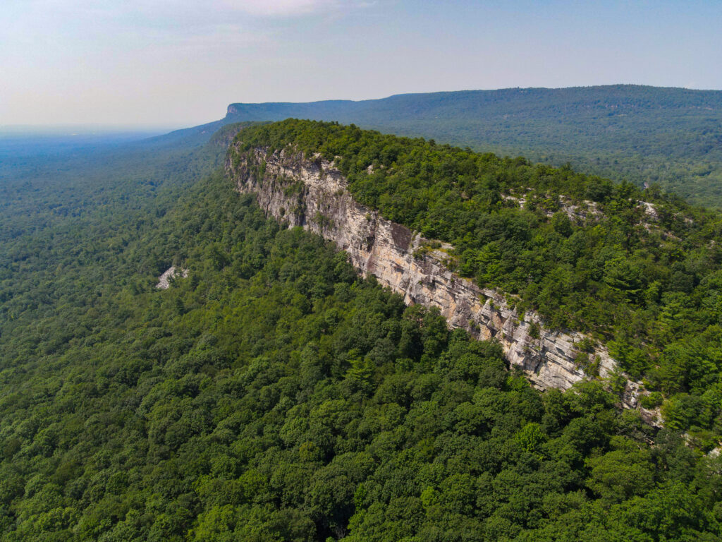
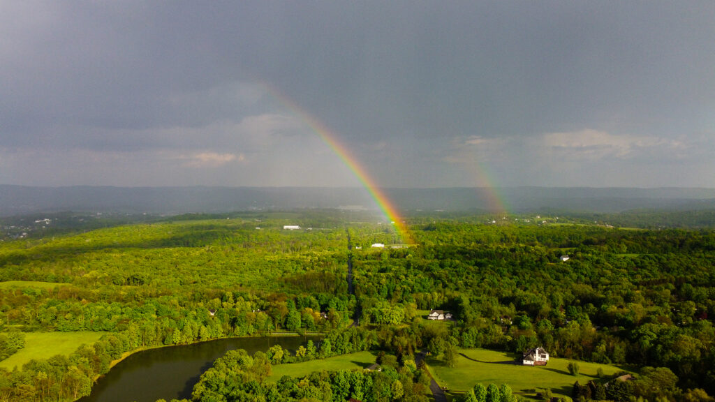
MayerDrone is located in Goshen, Ny. Our “local” area covers Orange, Putnam, Duchess, Rockland, Sullivan, Sussex, Ulster. We do work outside of the area as well. Just Contact us about the location.
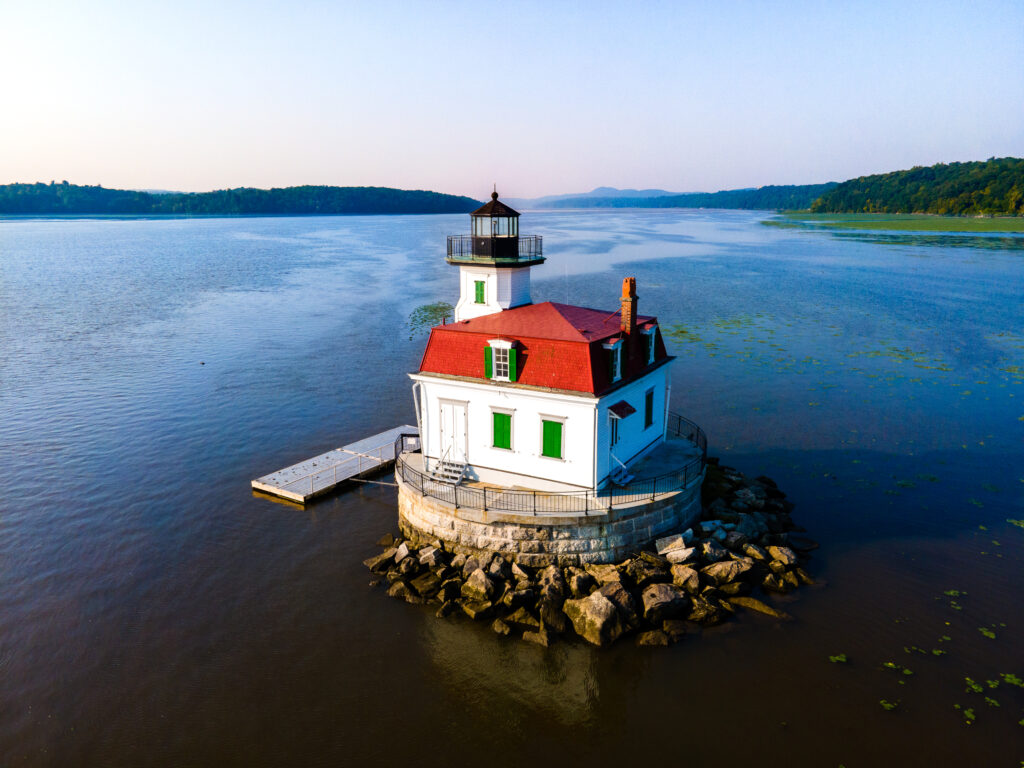
We’re happy to travel to locations throughout to assist on aerial imaging and video projects, ground based imaging and video as well. Often our work overlaps between drone imaging and online outreach and development. In addition to photography services, we have a wide knowledge of online business outreach (websites, social media, YouTube, & more).
And the next time you require imaging expertise, please feel free to get in touch with us no matter where you’re located!
Contact us
Using the contact form to send us email at below
Keep in touch with us
Have a question ? use the contact box provided
Name: Christopher & Jacqueline Mayer Phone: 845-243-9002